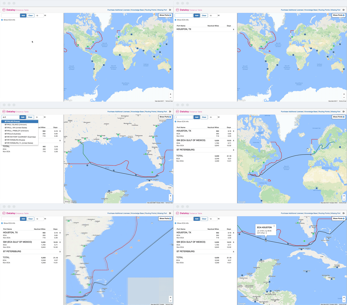

The Dataloy Distance Table is highly acclaimed for its extensiveness and accuracy. The database currently holds more than 9,500 ports and maritime locations, and more than 83,000 waypoints contribute to the accuracy of the calculation. Each port and waypoint is carefully placed based on actual ship traffic and thorough analysis of routing options.

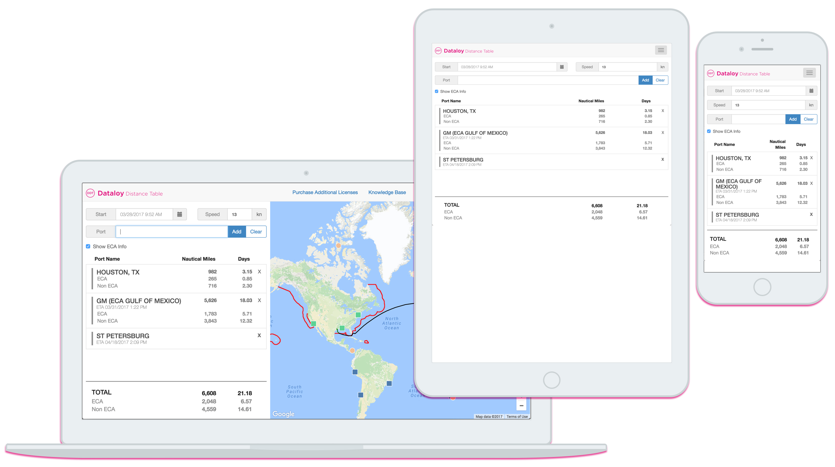
You can work from your desktop, phone and tablet!
ECA sailing routes are both visualised and calculated (distance and duration) for each voyage leg.
The new map and route visualisation gives the users full overview over the sailing route with detailed zooming capabilities and satellite imagery. Identify alternative rouring points and re-route your calculation easily.
Dataloy has a suite of products and services which work seamlessly to provide a comprehensive service and toolset for Shipowners, Charterers, and Brokers. Visit our webpage to learn more!